South DakotaDepartment of Transportation
Transportation
Aviation
About Office of Aeronautics Services
Office of Aeronautics Services
Airports Conference
Aerospace Education
Airport Information
Links
Aviation Systems Plan
Bridges
Office of Bridge Design
Design & Plans
Historical Bridges
Inventory & Inspection
Posted Structures
Reference Information
SD Bridge Photos
Doing Business
Certification & Accreditation
About Certification & Accreditation
SDDOT Accreditation Certification List
Approved Products
Manuals & Documents
Welding Certifications
Training
Contractors
Bid Letting Information
Concrete Pipe Release
Contractors/Suppliers
Prequalified Contractors
CMS Web Reports
Disadvantaged Business Enterprise (DBE)
Fuel Price Index
Labor Compliance
Materials
Preconstruction Meetings
Price Adjustment Guidelines
Standard Specifications
Subcontract Requirements
Forms & Documents
Webinars
Alternative Contracting
Engineering/Design Services
Consultant Services
Downloadable Files
Manuals
News & Updates
Right of Way / Relocation Assistance
Standard Bid Items
Standard Plates
Surveyors
Utility Coordination
Environmental
About Environmental
Agreements
Endangered Species
Environmental Assessments
Forms
Stormwater
Wetland Mitigation
Local Governments
About Local Governments
Bridge Improvement Grants
City/County Fund Balances
Emergency Relief (ER)
Federal Bridge Program
Forms & Documents
Secure Accounts Billing
Transportation Economic Development Grants
Urban Systems
Rural Access Infrastructure Fund Program
Traffic Incident Management
Training
Projects & Studies
Planning
Carbon Reduction Strategy
Freight Plan
Long Range Plan
Metropolitan Planning Organization
Non-state Public Road Inventory
Pavement Condition Monitoring
Pavement Management
South Dakota EV Fast Charging Plan
Statewide Transportation Improvement Program – STIP
Transportation Asset Management Plan (TAMP)
Inside SDDOT
Forms & Publications
Brochures
Forms
Manuals
Maps
Newsletters
Reports
SDDOT Engagement Opportunities
Join One of Our Contact Lists
Press Releases
Media Kits
News Stories
Branding and Identity Guidelines
Learn More about the SDDOT Logo
SDDOT Blog
U.S. 385 Roadway Improvement Study
U.S. 385 Roadway Improvement Study
Reason for Study:
The SDDOT has recognized the need to conduct a more in depth study of the roadway's geometrics and determine the feasibility of various roadway improvement options for approximately 15 miles of US 385. The needs for the project are directly related to improving access and safety for current and future traffic levels along the corridor.Study Limits
The study will examine US 385 for approximately 15 miles (from mileage reference markers 87 to 102) in Pennington and Lawrence Counties. This portion of US 385 extends from north of the Lawrence/Pennington County line to approximately the south-western tip of Sheridan Lake. The Project Area includes land owned by the U.S. Forest Service (USFS) and private landowners.Maps of Study Area:
Public Involvement
The South Dakota Department of Transportation (SDDOT) has a long history of public involvement in the development of transportation plans and projects. The 2005 passage of the Safe, Accountable, Efficient Transportation Equity Act: A Legacy for Users (SAFETEA-LU) requires a public involvement process. In accordance with the Department's public participation document, the US 385 Roadway Improvements Study strives to keep the public involved with the study as much as possible. Public meetings for the study will occasionally be scheduled to collect public input, provide information, and answer questions.2023 Public Information Website for U.S. Highway 385:
https://us-385.com/
Public Meeting #1 - January 31, 2013
The SDDOT has retained HDR Engineering, Inc. to perform this study. For more information or comments, please contact:
Construction Projects
Planning
Carbon Reduction Strategy
Freight Plan
Long Range Plan
Metropolitan Planning Organization
Non-state Public Road Inventory
Pavement Condition Monitoring
Pavement Management
South Dakota EV Fast Charging Plan
Statewide Transportation Improvement Program – STIP
Transportation Asset Management Plan (TAMP)
Studies
Special Studies
Public Meetings
SPR
US Highway 16 Corridor Study
I-229 Exit 3 (Minnesota Avenue) and Exit 4 (Cliff Avenue) Interchange & Environmental Study
I-229 Exit 6 (10th Street) Interchange Study
SD44 - Platte/Winner Bridge Corridor Study
I-90 Exit 46 (Elk Creek Road) Interchange Modification Study
I-90 Exit 63 (Box Elder/Ellsworth AFB Commercial Gate) Interchange Study
U.S. 385 Roadway Improvement Study
SD 100 Corridor Preservation Project
US14A/US85/Deadwood Box Corridor Study
South Veterans Parkway (Highway 100)
US Highway 212/Forest City Bridge Corridor Study
Union County Master Transportation Plan Study
Tabor to Platte Rail to Trail Feasibility Study
Bryant Master Transportation Plan Study
© 2026 State of South Dakota. All Rights Reserved.
South Dakota Department of Transportation
Becker-Hansen Building
700 E. Broadway Ave.
Pierre, SD 57501
Becker-Hansen Building
700 E. Broadway Ave.
Pierre, SD 57501
Powered by:
Modern Logic
Modern Logic
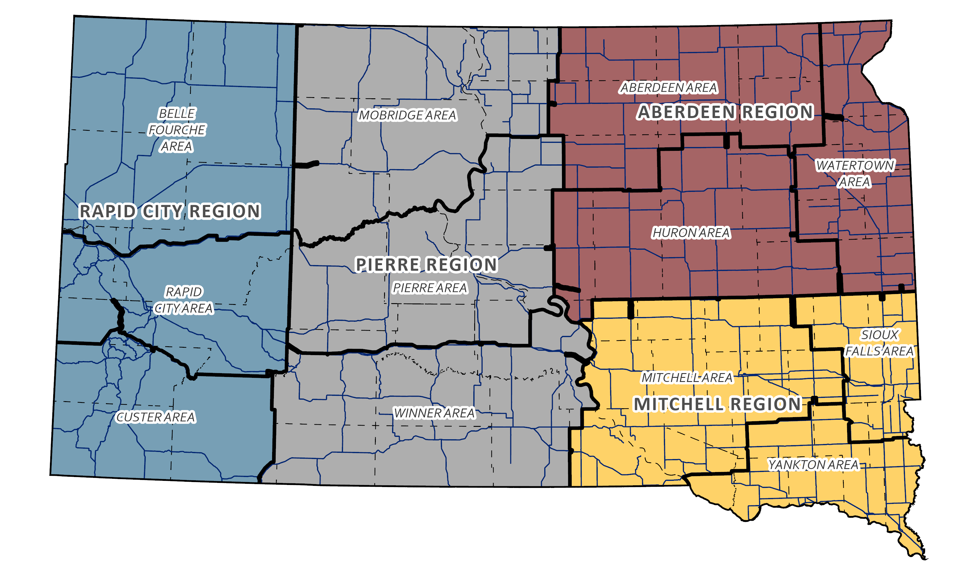
Region & Area Offices
Travelers
© 2026 State of South Dakota. All Rights Reserved.
South Dakota Department of Transportation
Becker-Hansen Building
700 E. Broadway Ave.
Pierre, SD 57501
Becker-Hansen Building
700 E. Broadway Ave.
Pierre, SD 57501
Powered by:
Modern Logic
Modern Logic


